Under two concurrent prime contracts with the Washington State Department of Natural Resources (DNR), West Fork Environmental is implementing a statewide forest inventory data-collection program on DNR-managed lands in eastern and western Washington through June 2027. These contracts include 688 stand-alone, fixed radius plots and 27 variable radius plot blocks. The two contracts require collection and delivery of up to 1,430 quality tree increment cores.
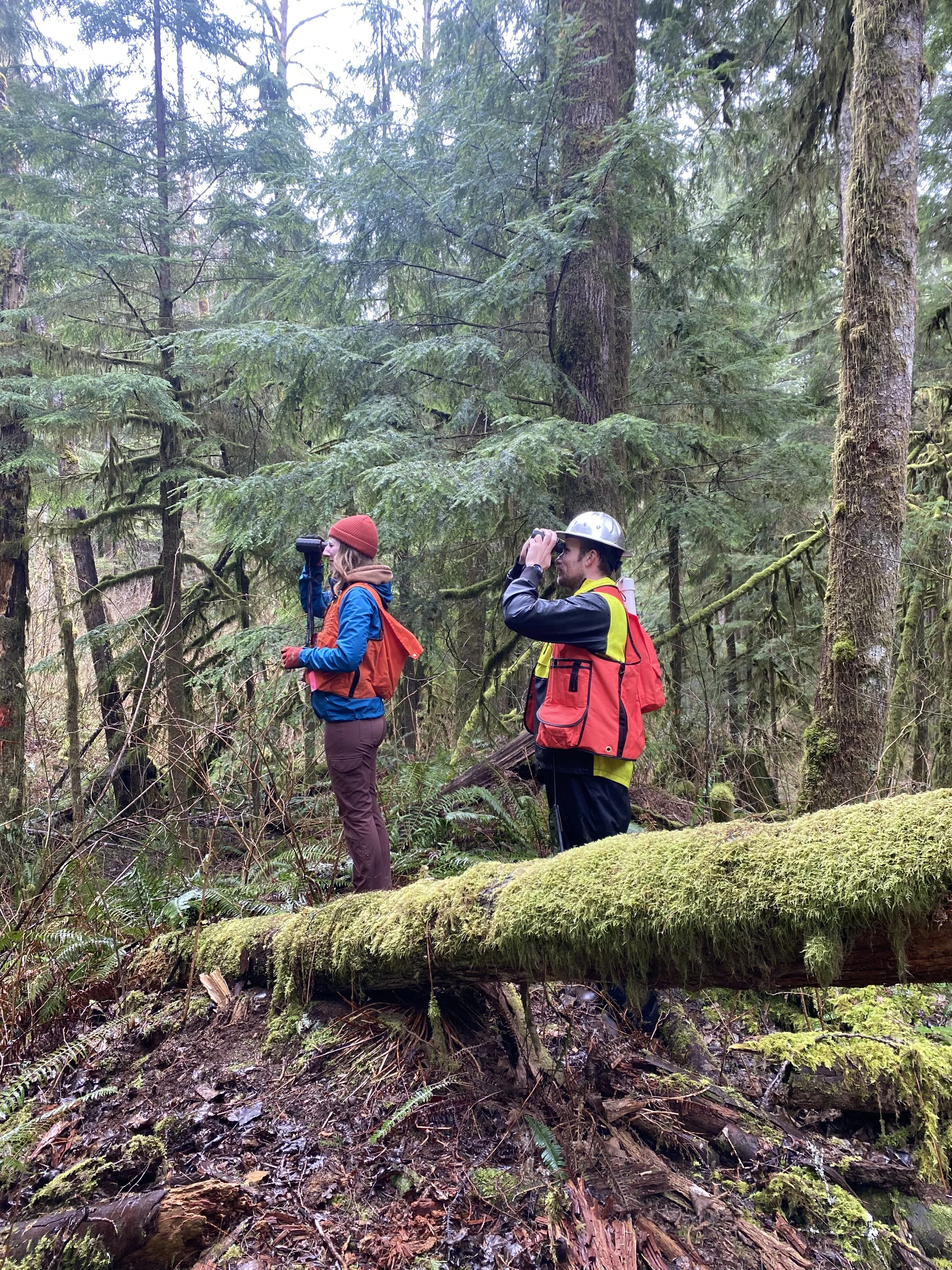
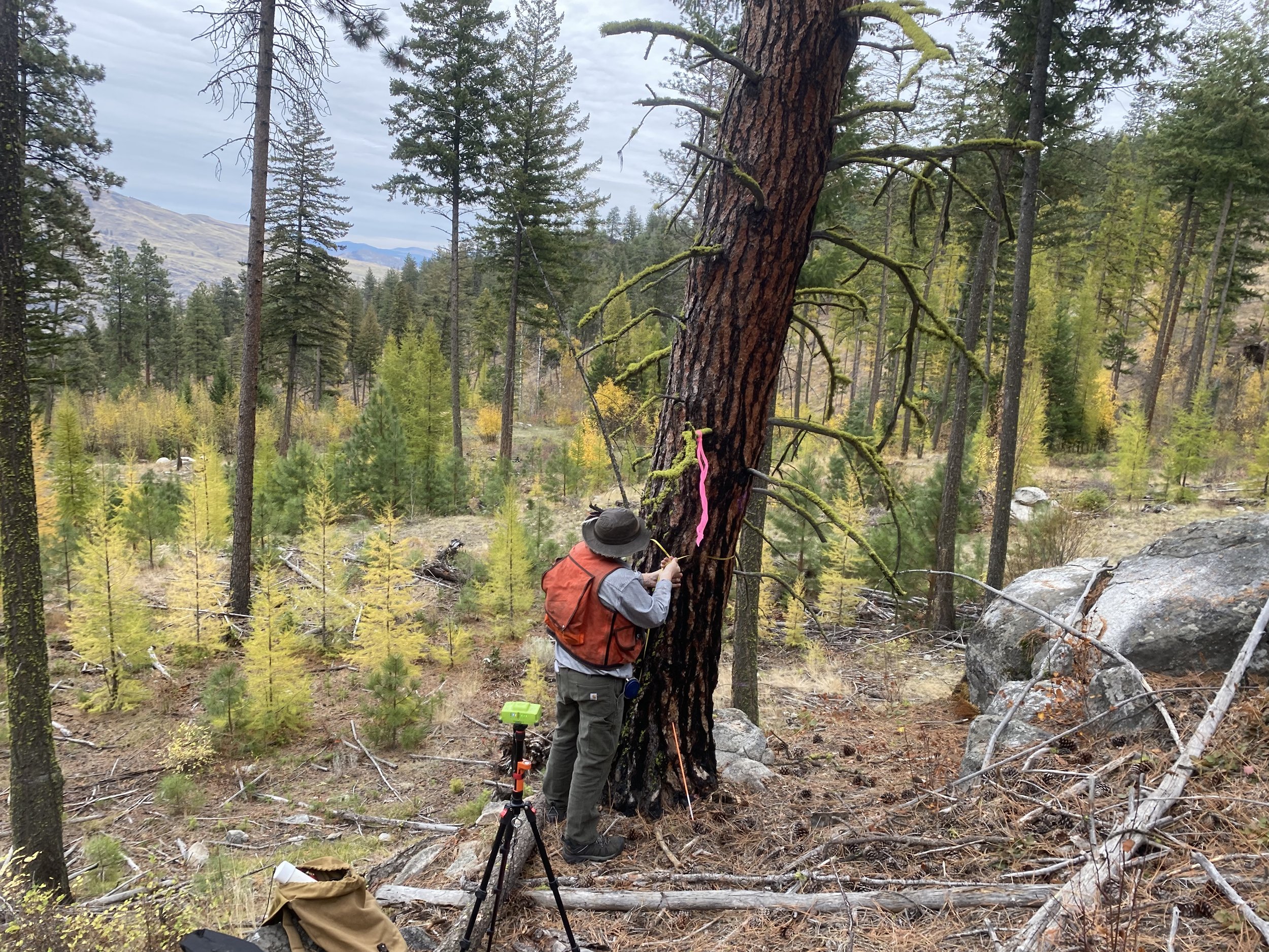
Crews navigate to predefined remote locations, establish and monument plot centers, collect high-precision GNSS coordinates over prescribed observation periods, and record data electronically using DNR tablets and the custom Data Recorder application. At nested fixed-radius plots and transects, West Fork measures live and dead trees, species, diameter, height, crown attributes, damage, stem locations, canopy cover and closure, and down dead woody material; collects increment cores; tags selected trees; photographs plot conditions; and completes the additional stand-development classification required in western Washington. West Fork submits traceable electronic datasets and labeled cores, maintains DNR-furnished GPS, camera, and tablet equipment, and coordinates dispersed crews and deliveries statewide.
DNR independently checks 10 percent of completed work under strict plot-scoring tolerances, making field consistency, species identification, measurement precision, complete documentation, and timely correction of deficiencies central to successful performance. This project is an example of the capacity of West Fork to deploy field personnel on a statewide project to accomplish challenging objectives within a funding and time constrained framework.