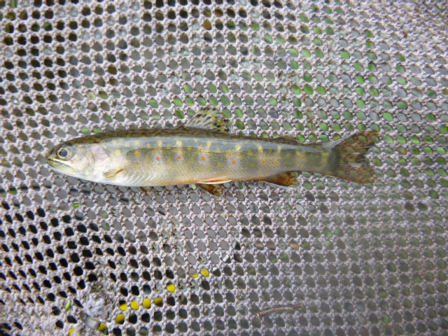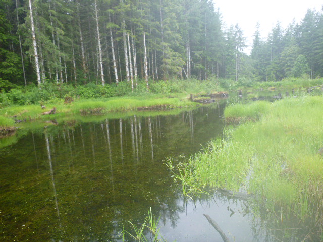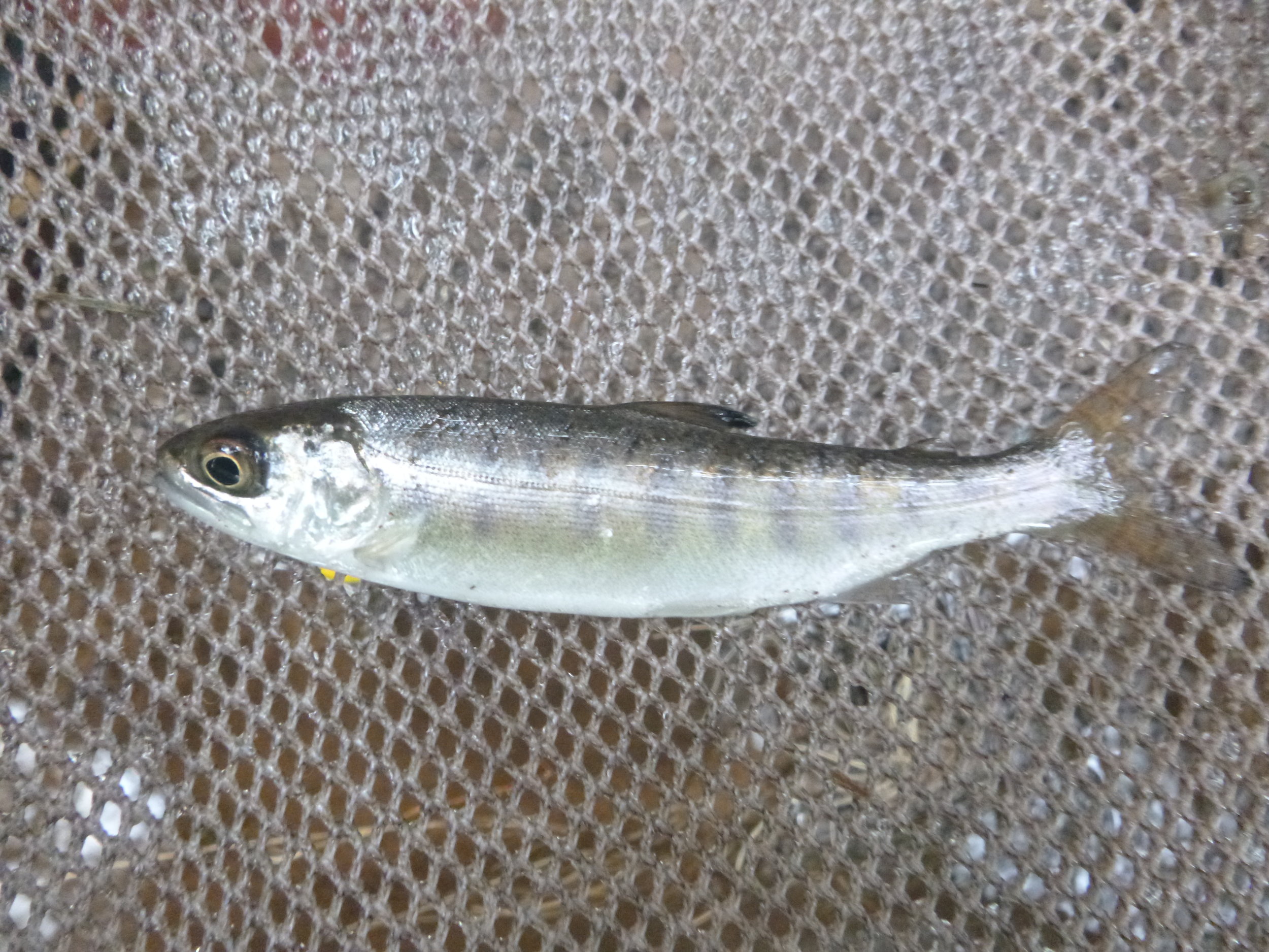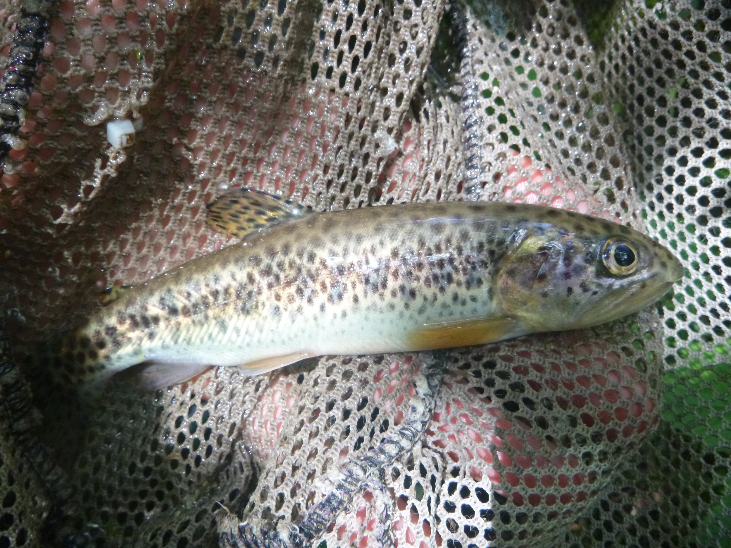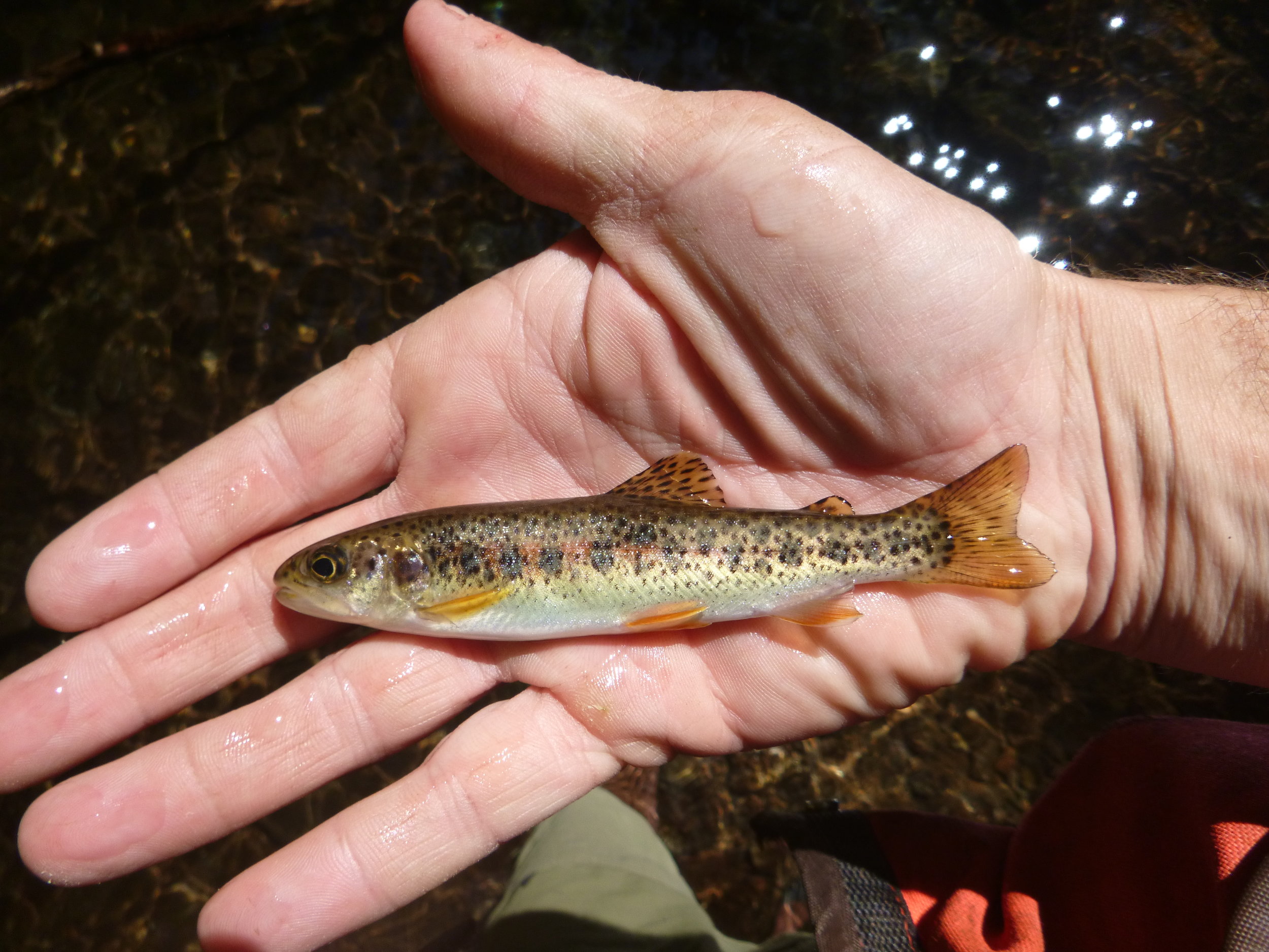

West Fork annually conducts stream habitat surveys to determine the distribution of native fish in streams for our forestry clients. The purpose of this work is to verify regulatory stream typing prior to timber harvest or road maintenance.
Detailed habitat measurements are recorded during each survey to accurately quantify potential fish habitat and limits to fish distribution. Over the past twelve years, we have conducted over 3,900 protocol stream surveys for Washington clients alone, resulting in a large number of changes to portions of the Washington Department of Natural Resources hydro-layer. These changes have been submitted for review by our clients through Washington’s normal water type modification reporting process.
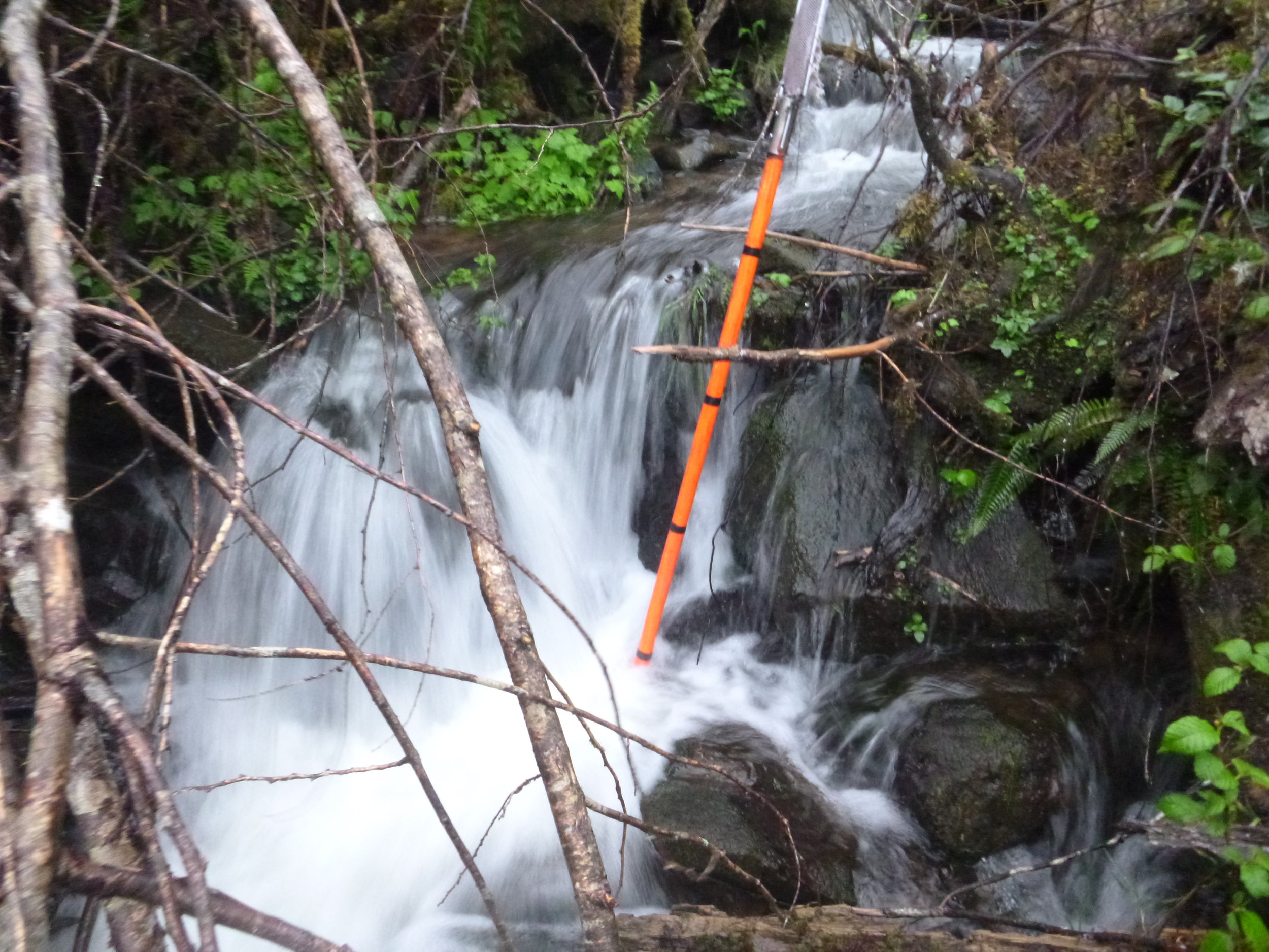
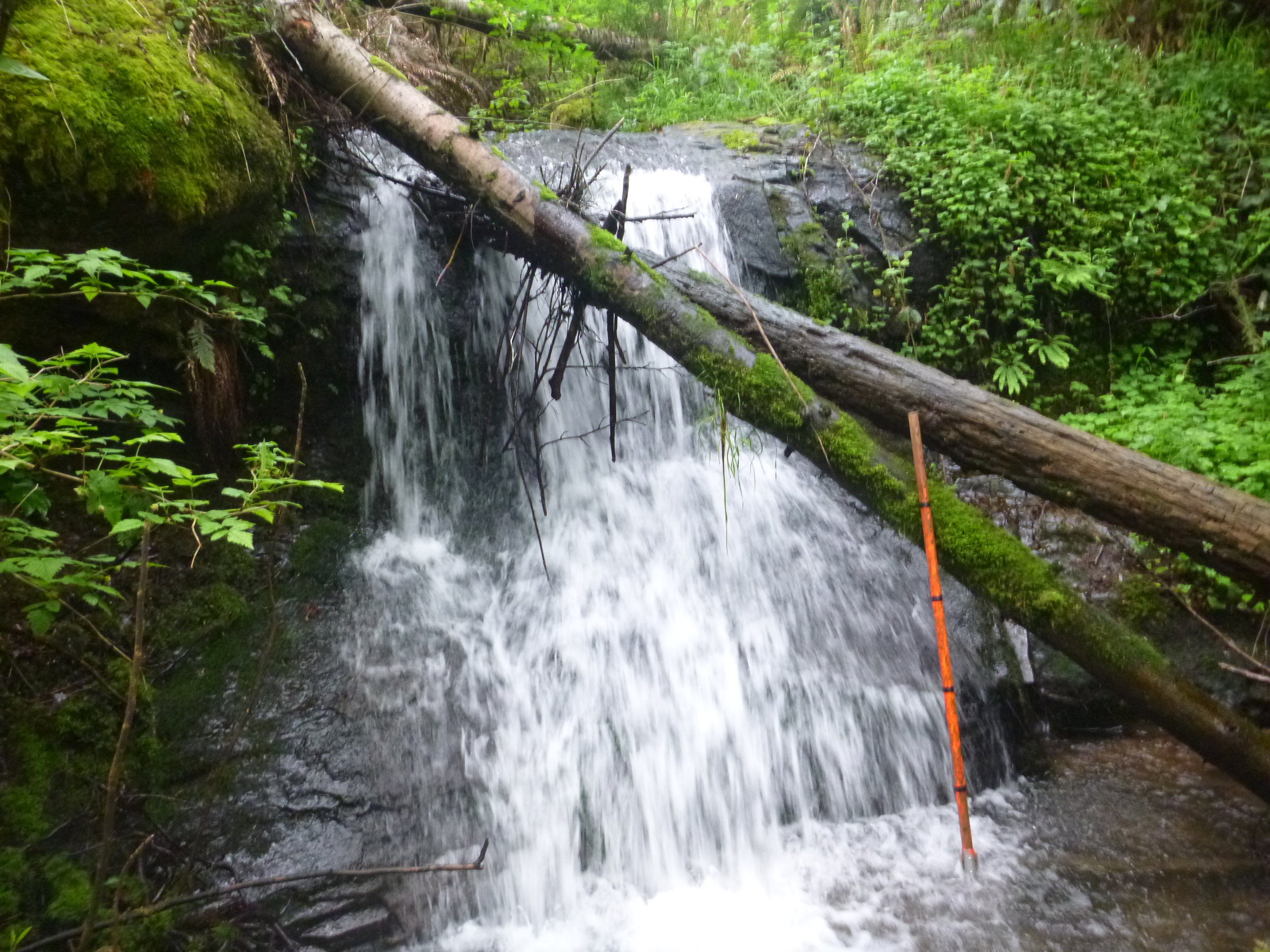
Water typing field activities have been guided by the Washington Forest Practices Board Manual Section 13, “Guideline for Determining Fish Use for the Purpose of Typing Waters” and the input of regional state agency personnel and biologists employed by local Indian tribes. Because we have always managed our data using GIS software we maintain an electronic record of all the changes to DNR’s hydro-layer that result from our field surveys.