
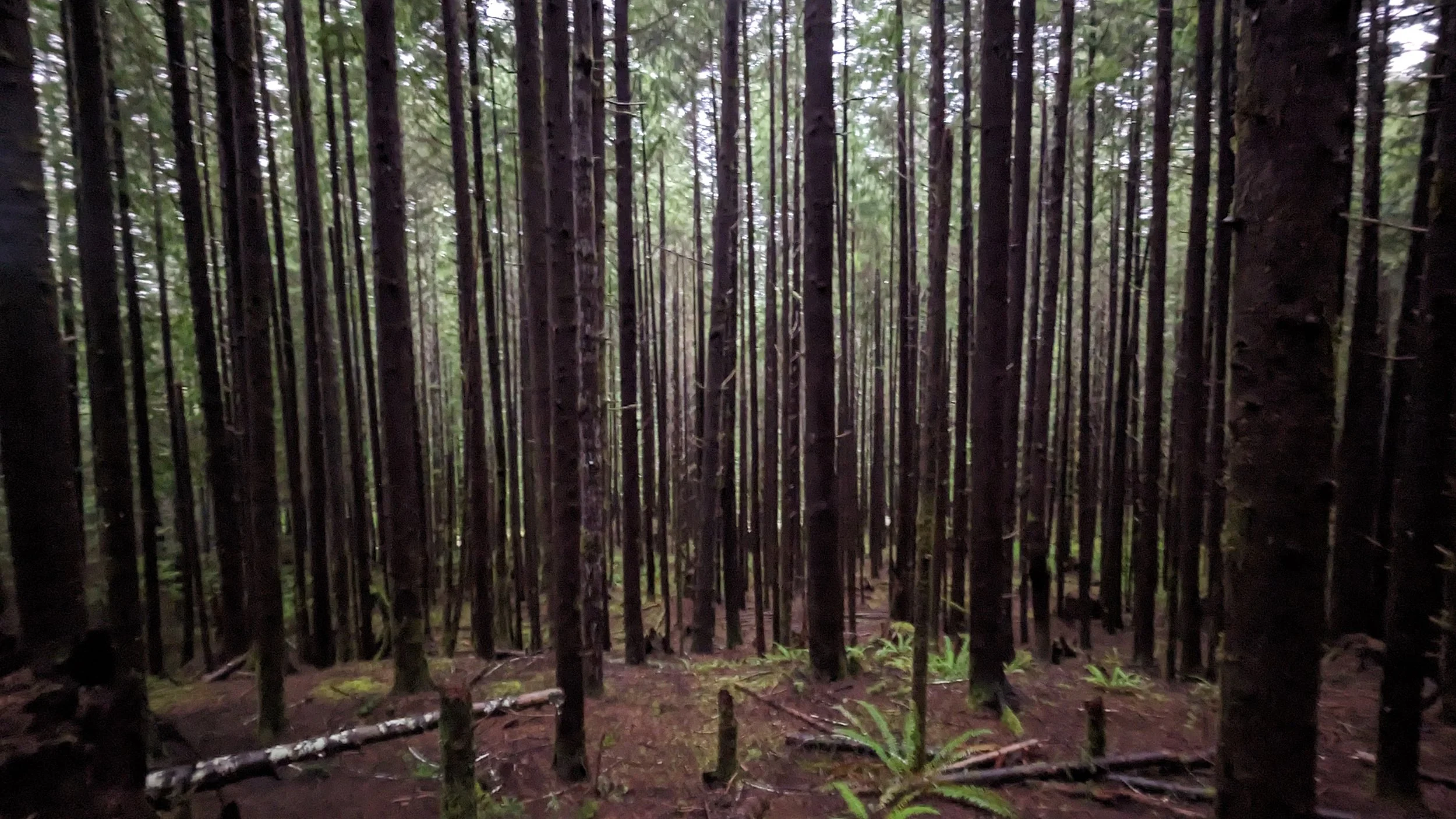
West Fork conducts forest inventory on 688 randomly-selected plots.
West Fork conducts forest inventory on 688 randomly-selected plots.
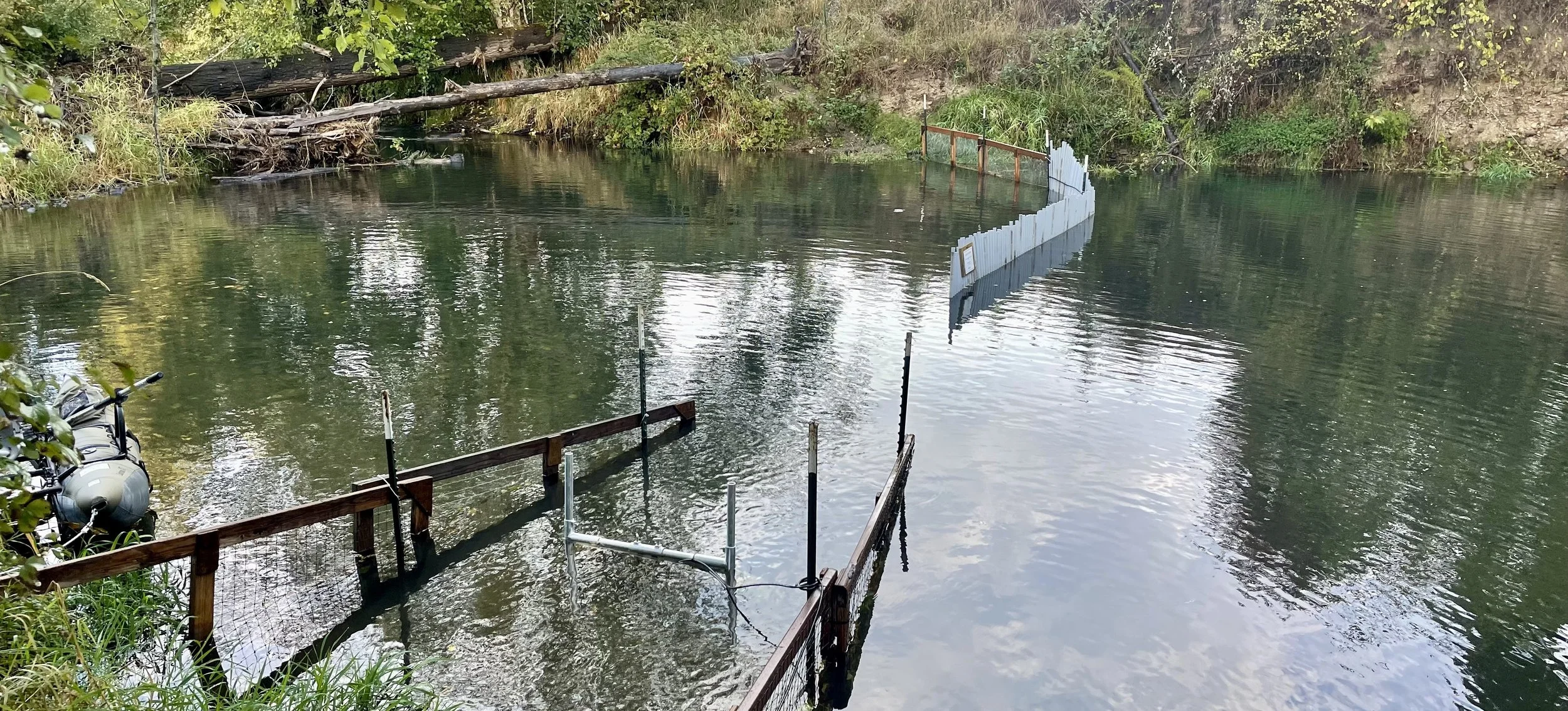
West Fork Environmental successfully deployed and operated high-resolution imaging sonar to continuously monitor adult Chinook salmon migration in the lower Skookumchuck River over three seasons. An ARIS Explorer 3000 imaging sonar was installed using a custom multi-axis mount. Site configuration included temporary guidance structures to direct migrating fish through the field of view and ensure complete coverage of the monitoring cross-section. Prior to data collection, sonar coverage was field-verified using submerged and floating targets at multiple distances to confirm that fish passage could be reliably detected throughout the monitoring area.
The sonar was operated continuously using Sound Metrics software, with data automatically recorded for subsequent processing. Biologists visited the site daily to verify equipment operation, manage data storage, and document environmental conditions, while a backup power system provided uninterrupted operation during localized power outages. Experienced reviewers analyzed recorded imagery using ARISFish software to efficiently identify fish passage events and to determine direction of travel, evaluate fish behavior, and obtain length measurements. The project demonstrated our ability to design and install an imaging-sonar monitoring station, optimize and verify acoustic coverage, maintain continuous field operation, manage large volumes of sonar data, and efficiently process imagery to generate reliable fish-passage information.
Since 2019, West Fork Environmental has been monitoring the effectiveness of best management practices for sediment runoff from forest roads
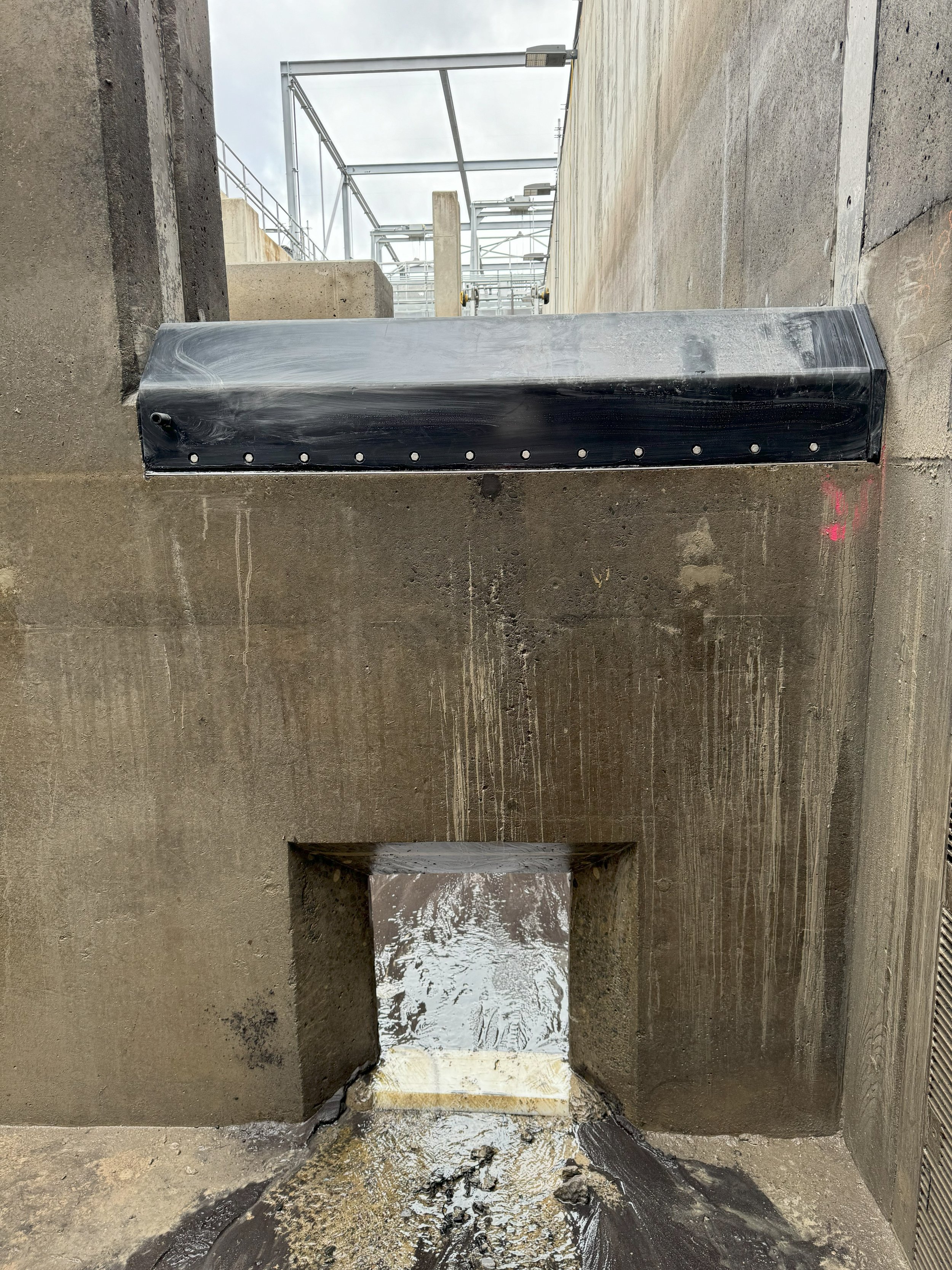
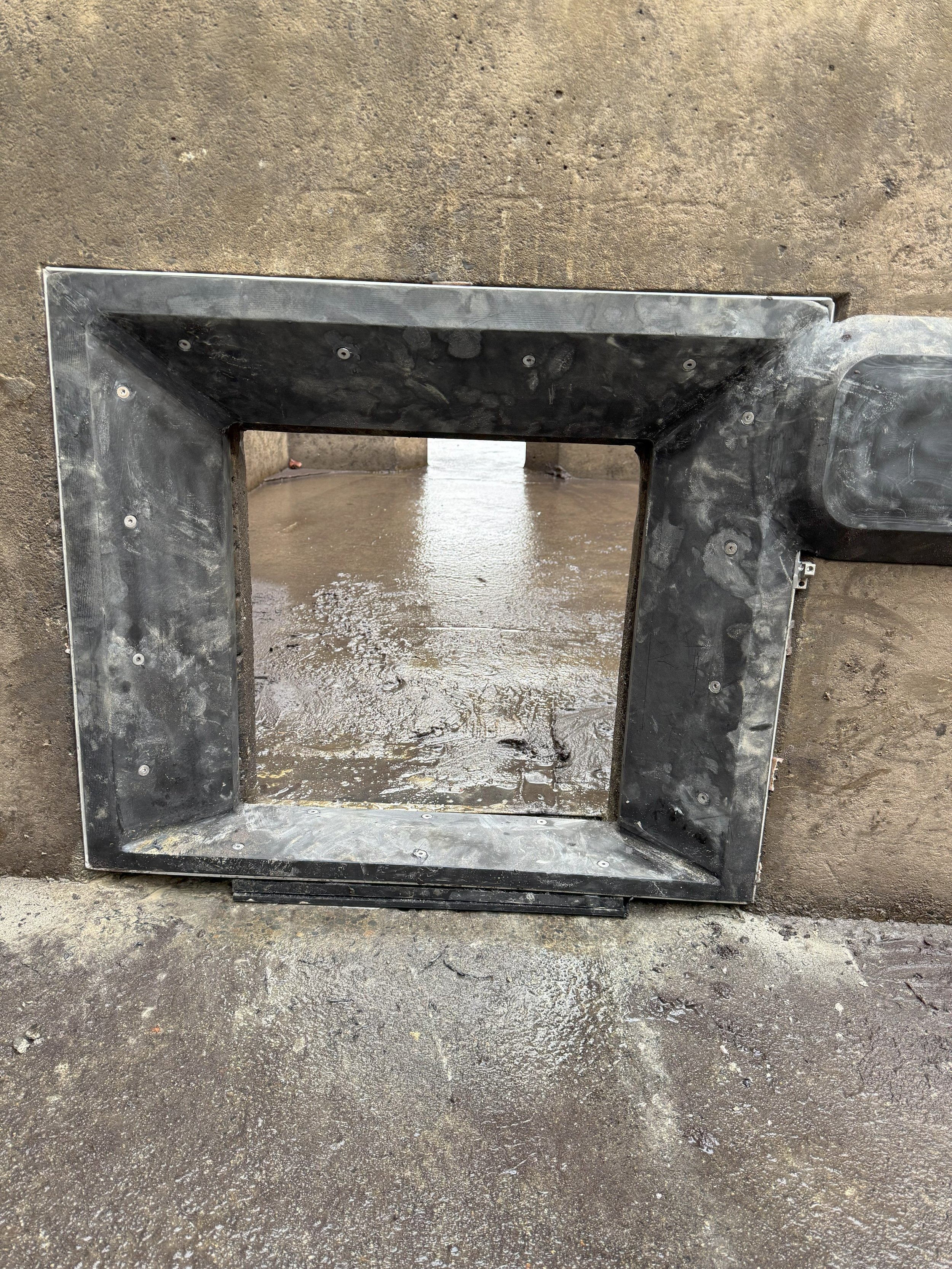
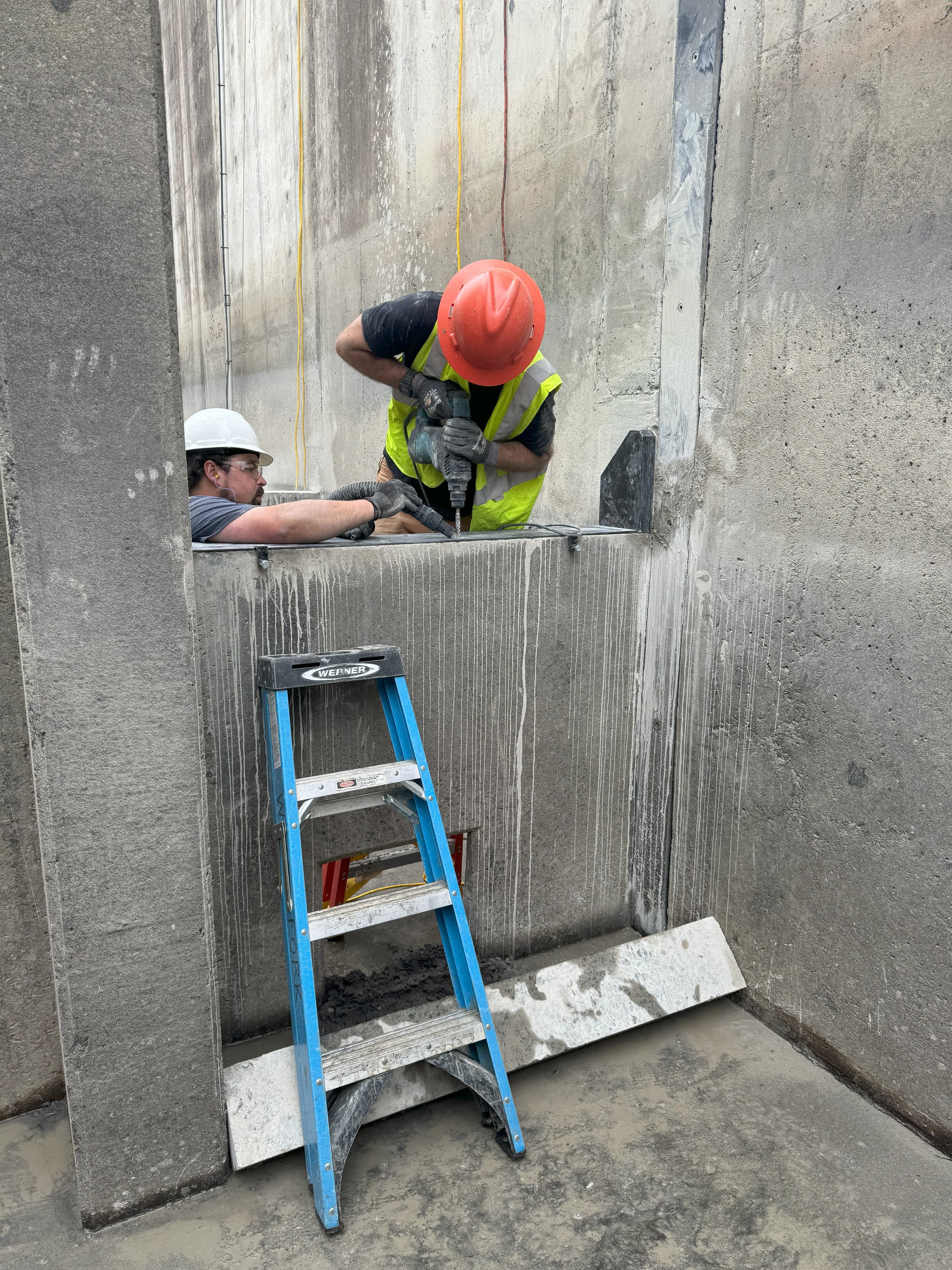
West Fork designed and installed custom PIT tag antennas in the fish ladder at the Mud Mountain Dam Fish Passage Facility in Buckley, WA. Three weir walls within the fish ladder were retrofitted with weir cap and orifice antennas to allow detection and directional tracking of tagged salmonids through the ladder.
West Fork has partnered with a client to implement a multi-year study to investigate the status and relative abundance of fall and spring Chinook in the Chehalis River basin. Small inclined plane screen traps designed in-house by West Fork were deployed at six sites downstream of known Chinook spawning areas.
West Fork has partnered with a client on a multiyear project to capture and tag juvenile summer steelhead rearing in the South Fork Tolt River to document reach-specific growth and movement patterns. Sampling was initiated in 2010 when PIT (passive integrated transponder) tags were first implanted in captured fish. Data has provided insight about timing of movement and growth of juvenile steelhead.
West Fork has partnered with a client to carry out a multi-year sampling effort to produce reliable smolt outmigration estimates for Coho salmon in two Olympic Peninsula rivers using rotary screw traps.
West Fork annually conducts stream habitat surveys to determine the distribution of native fish in streams for its forestry clients.
West Fork is contracted by the Washington State Dept. of Natural Resources to collect field data for the Westside Type F Riparian Prescription Monitoring Project.
West Fork Environmental has completed extensive habitat and animal surveys for forestry clients throughout Skamania and Klickitat Counties in Washington since 2008 for the threatened western gray squirrel and other squirrel species.
West Fork biologists are certified to conduct protocol marbled murrelet detection surveys.
West Fork conducts habitat assessments to document potential nesting habitat for marbled murrelets in managed forests in Washington and Oregon.
West Fork has partnered with Seattle City Light to design and implement a salmonid sampling strategy to investigate movement in selected tributaries of the Pend Oreille River in northeastern Washington.
West Fork is trained in the USFWS recommended protocol for ruling out the presence of Mazama pocket gophers in Thurston and Pierce counties.
In the Summer of 2018, eDNA collection and analysis was utilized as part of a larger project investigating fish distribution in Walsh Lake, located in the Cedar River Municipal Watershed.
West Fork contracted with the Washington Department of Natural Resources (WADNR) to conduct inventory cruises on WADNR lands in Western Washington.
West Fork Environmental conducted a three year study investigating the spatial and temporal distribution of hatchery and naturally produced sockeye salmon spawning in the Cedar River, Washington.
West Fork Environmental installed four PIT tag antennas in Ohop Creek, near Eatonville, WA, to collect data leading to a better understanding of the relative importance and role of the newly restored reach on movement and residence patterns of juvenile coho within the upper system.
West Fork Environmental worked with Seattle Public Utilities and advisory groups to the Cedar River Hatchery to draft a Monitoring and Evaluation Plan for the Cedar River Hatchery.
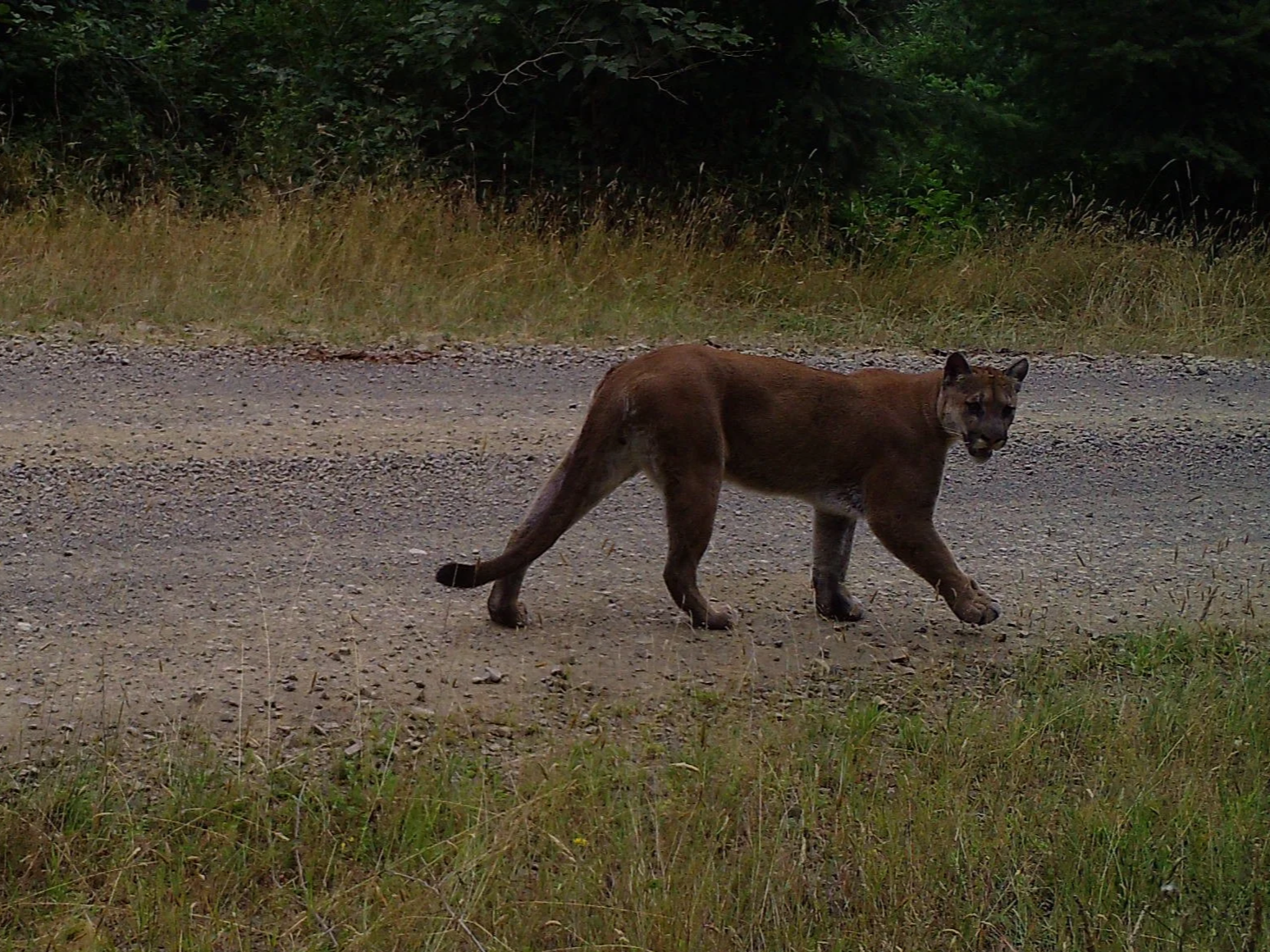
West Fork Environmental deployed an array of wildlife cameras to document the presence of Humboldt marten in managed forest stands in the Central Coast Range of Oregon.